File:SouthAtlanticMapArea.jpg
From DCS World Wiki - Hoggitworld.com
Error creating thumbnail: WARNING: The convert command is deprecated in IMv7, use "magick" instead of "convert" or "magick convert"
convert: no decode delegate for this image format `/var/www/html/images/3/3d/SouthAtlanticMapArea.jpg' @ error/constitute.c/ReadImageInternal/739.
convert: no images defined `/tmp/transform_5fe451183004.jpg' @ error/deprecate.c/ConvertImageCommand/3375.
Error code: 1
Other resolution: 4,760 × 1,374 pixels.
Original file (4,760 × 1,374 pixels, file size: 885 KB, MIME type: image/jpeg)
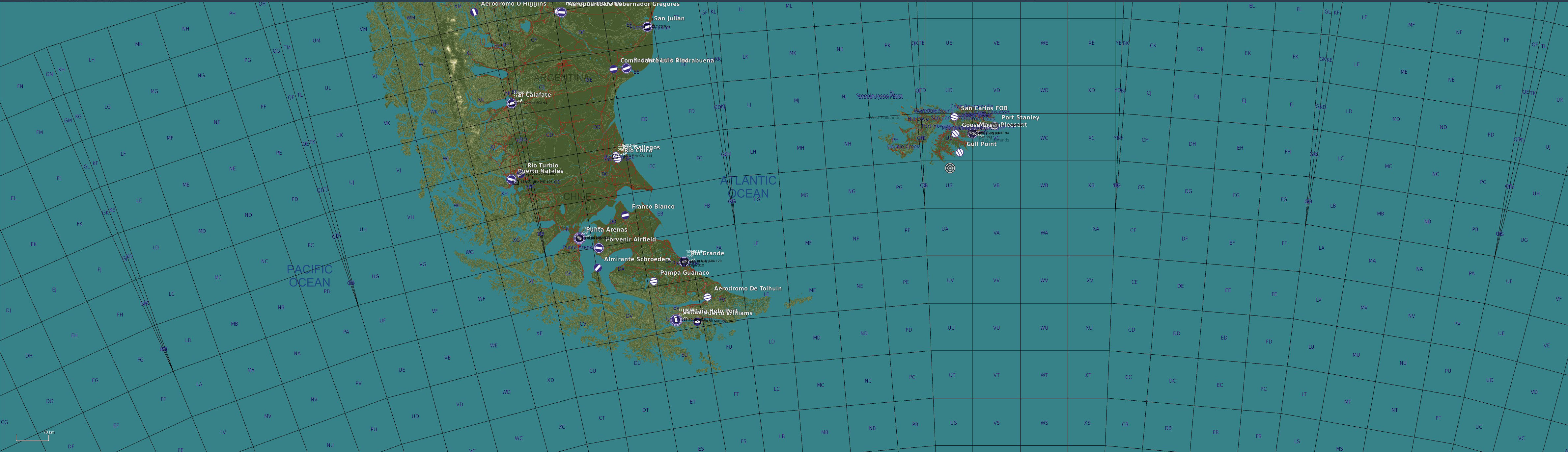
Map of the South Atlantic map by Razbam.
File history
Click on a date/time to view the file as it appeared at that time.
| Date/Time | Thumbnail | Dimensions | User | Comment | |
|---|---|---|---|---|---|
| current | 01:14, 22 April 2023 | Error creating thumbnail: WARNING: The convert command is deprecated in IMv7, use "magick" instead of "convert" or "magick convert"
convert: no decode delegate for this image format `/var/www/html/images/3/3d/SouthAtlanticMapArea.jpg' @ error/constitute.c/ReadImageInternal/739.
convert: no images defined `/tmp/transform_d3a6f431a53f.jpg' @ error/deprecate.c/ConvertImageCommand/3375.
Error code: 1 | 4,760 × 1,374 (885 KB) | Grimes (talk | contribs) | Map of the South Atlantic map by Razbam. |
You cannot overwrite this file.
File usage
The following page uses this file: